What Affects Rates in Springfield
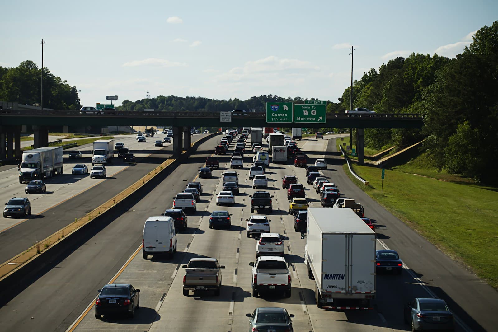
- Most Springfield drivers commute west into Eugene via the I-105 junction or Gateway Street, adding 20-30 minutes of daily highway exposure. The Main Street-Pioneer Parkway corridor sees moderate congestion during peak hours but nothing approaching metro-level traffic. This highway dependency slightly elevates collision risk compared to rural areas while keeping rates well below urban cores.
- North Springfield neighborhoods around Thurston Road see marginally lower rates due to newer residential development and lower claim frequency. Glenwood and downtown Springfield show slightly higher rates tied to older housing stock and commercial density along Main Street. Rate variation across the city rarely exceeds 8-12% for identical coverage.
- Springfield's working-class economy means a higher percentage of older vehicles without comprehensive or collision coverage. Many drivers here carry only liability, which keeps average premiums low but creates elevated uninsured motorist exposure. If you're dropping full coverage on a vehicle over 10 years old, you're following local norms.
- Springfield shares Eugene's wet winters with 45+ inches of annual rainfall, creating slick conditions on Route 126 and Springfield-Creswell Highway from November through March. However, the city's flat terrain means ice and snow are rare compared to Cascade foothills communities. Weather-related claims stay moderate except during heavy rain events.
Find the minimum coverage that meets your state's requirements
Compare liability-only rates from carriers in your state — and see what discounts you qualify for.
Get Your Free QuoteCoverage Recommendations
Cost estimates are based on available industry data and vary by driver profile. These are not insurance quotes.
State Minimum Liability
Adequate for Springfield's suburban commute patterns if you accept full financial exposure for your own vehicle and injuries.
$480-680/yearEstimated range only. Not a quote.
Full Coverage
Costs $1,600-2,200/year in Springfield; only worth it if your vehicle value exceeds $4,000-5,000 and you can't self-insure a loss.
$1,600-2,200/yearEstimated range only. Not a quote.
Uninsured Motorist
Springfield's working-class demographics mean uninsured rates run 12-15%, creating meaningful exposure if you carry only minimum liability.
$80-150/yearEstimated range only. Not a quote.
Higher Liability Limits
Adds $120-280/year in Springfield; consider only if you own assets worth protecting beyond your vehicle.
$120-280/yearEstimated range only. Not a quote.