Updated May 2026
See all Washington auto insurance rates →What Affects Rates in Federal Way
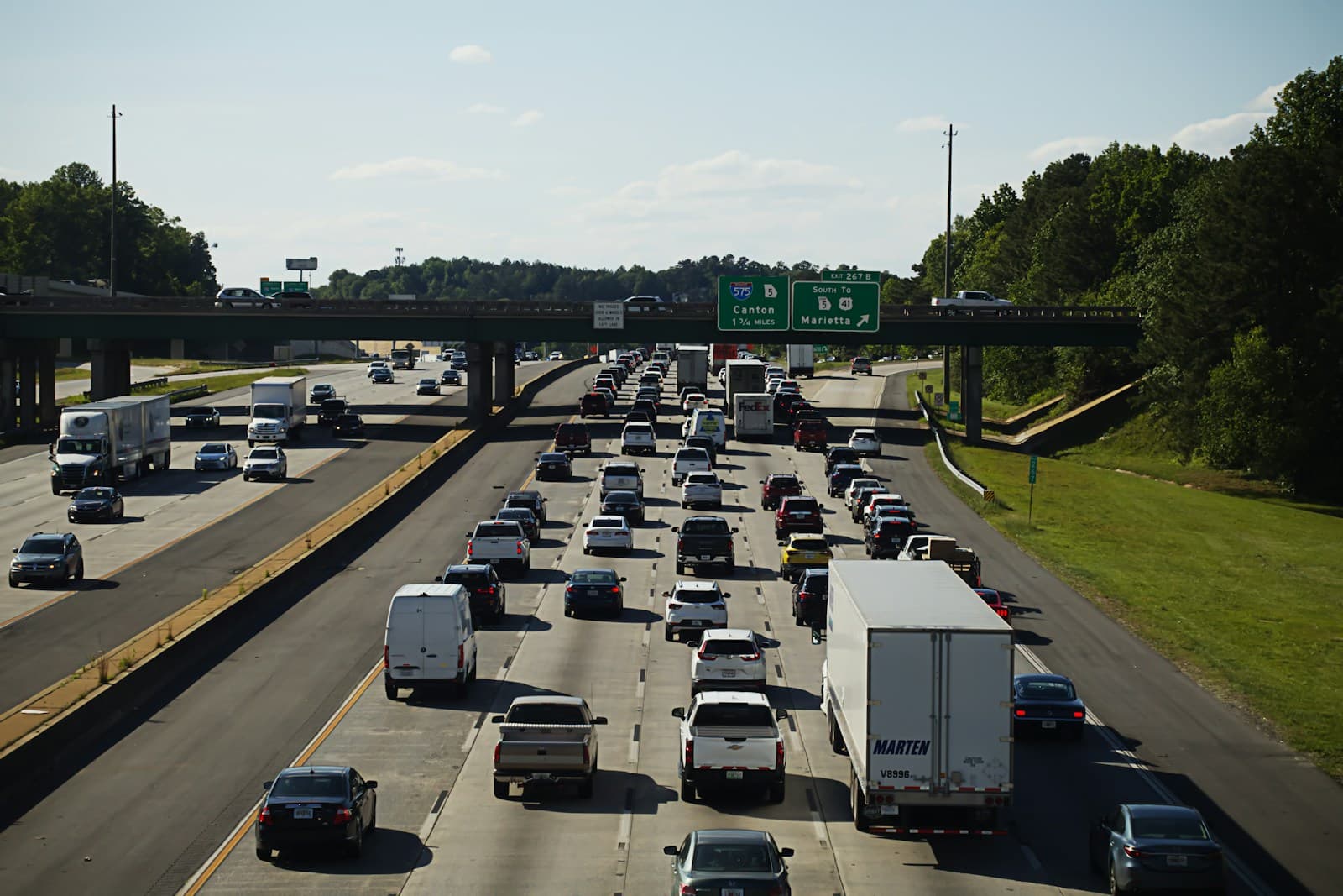
- Federal Way sits directly on I-5 between Tacoma and Seattle, creating daily bottlenecks near SR 18 and S 320th Street exits. Morning and evening backups increase rear-end collision rates, particularly between exits 142-143. Drivers commuting north to SeaTac or Seattle face extended highway exposure that insurers price into premiums.
- The Pacific Highway corridor through Federal Way sees constant commercial and residential traffic from Des Moines to Dash Point. Frequent stoplights, strip mall entries, and pedestrian crossings near The Commons mall and transit centers create claim hotspots. Rates along this corridor run 10-15% higher than residential neighborhoods east of I-5.
- West Campus and Lakota areas near I-5 see higher theft and vandalism rates than quieter neighborhoods around Steel Lake or Sacajawea. Properties closer to transit hubs and Pacific Highway report more auto-related claims. Moving east toward Auburn boundaries can reduce premiums by $8-15/month for identical coverage.
- Federal Way's hilly terrain combined with Puget Sound moisture creates ice patches on slopes near Dash Point and along S 336th Street during winter freezes. Insurance claims spike in December-February when black ice forms on residential hills. Comprehensive coverage becomes relevant for drivers parking outdoors in these areas.
- As a suburban bedroom community with economic diversity, Federal Way sees uninsured motorist rates around 12-14%, slightly above the state average. Pacific Highway South and areas near transit centers have higher concentrations of uninsured drivers, making UM/UIM coverage worth considering even for minimum-coverage shoppers.
Find the minimum coverage that meets your state's requirements
Compare liability-only rates from carriers in your state — and see what discounts you qualify for.
Get Your Free Quote✓ Minimum Coverage Options✓ No Obligation✓ Licensed Carriers✓ All 50 States
Coverage Recommendations
Cost estimates are based on available industry data and vary by driver profile. These are not insurance quotes.
Liability Only
Sufficient for older vehicles in Federal Way, though I-5 commuters face higher accident exposure during rush hours.
$40-$60/monthEstimated range only. Not a quote.
Liability + Uninsured Motorist
Federal Way's 12-14% uninsured rate near Pacific Highway South makes UM coverage worth the $8-12/month addition for daily commuters.
$48-$72/monthEstimated range only. Not a quote.
Full Coverage
Only cost-effective for financed vehicles or cars worth $5,000+ given Federal Way's moderate theft rates and winter ice claim frequency.
$120-$180/monthEstimated range only. Not a quote.